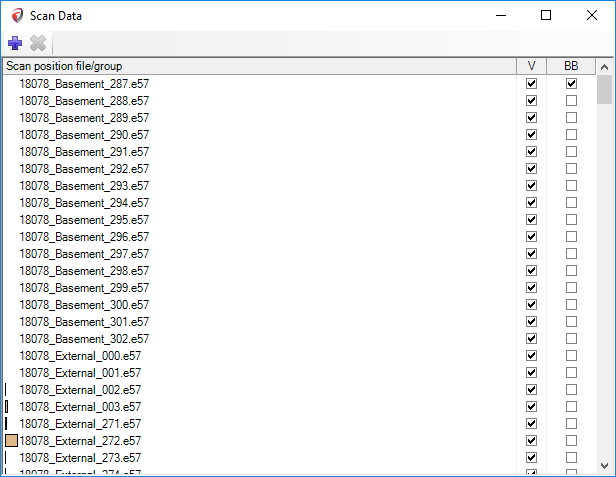
In the Scan data dialog user can manage visibility and grouping for the chunks of the original input data. If the input data is LAS, PTS, or other TXT-like file, the data will be merged together and there will be only big chunk – nothing much to control, just hiding or showing the whole Point Cloud.
How to group individual scans?
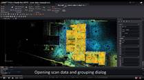
The below example is a building scanned with a terrestrial scanner from inside and outside. Input data – 170 individual scans in E57 format.
Structure of Scan Data dialog :
•Scan position file/group - displays Scan locations with names.
•V- check/uncheck box in order to show/hide points from the scan location.
•BB - check/uncheck box in order to show/hide scan location symbol – sphere.
Use „Ctrl” and „Shift” for multiple selections from the scan list in order to group Data.
Watch a video that shows how to group scan data in UNDET Point Cloud